Historic Quebec City
Jul 07, 2024 | mtxvp
Previous part: Quebec City - Fortifications & Citadelle
Quebec City was built on the north bank of the Saint Lawrence River, where it narrows and meets the mouth of the Saint-Charles River. Old Quebec is located on top and at the foot of Cap-Diamant, which is on the eastern edge of a plateau called the promontory of Quebec (Quebec hill). Because of this topographic feature, the oldest and most urbanized borough of La Cité-Limoilou can be divided into upper and lower town. North of the hill, the Saint Lawrence Lowlands is flat and has rich, arable soil. Past this valley, the Laurentian Mountains lie to the north of the city but its foothills are within the municipal limits. (source: Wikipedia)
Views on the way down from View Point Saint Laurent River tiwards

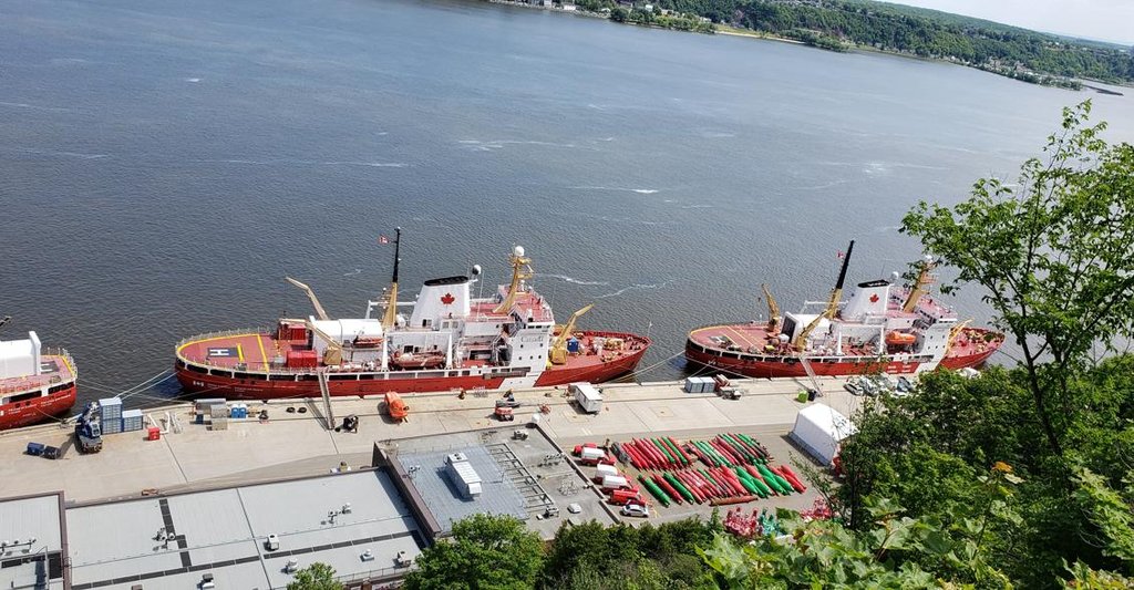
Que faites vous ici on that rig?


You go all the way down and get to a beautiful Dufferin Terrace, floating above the river.
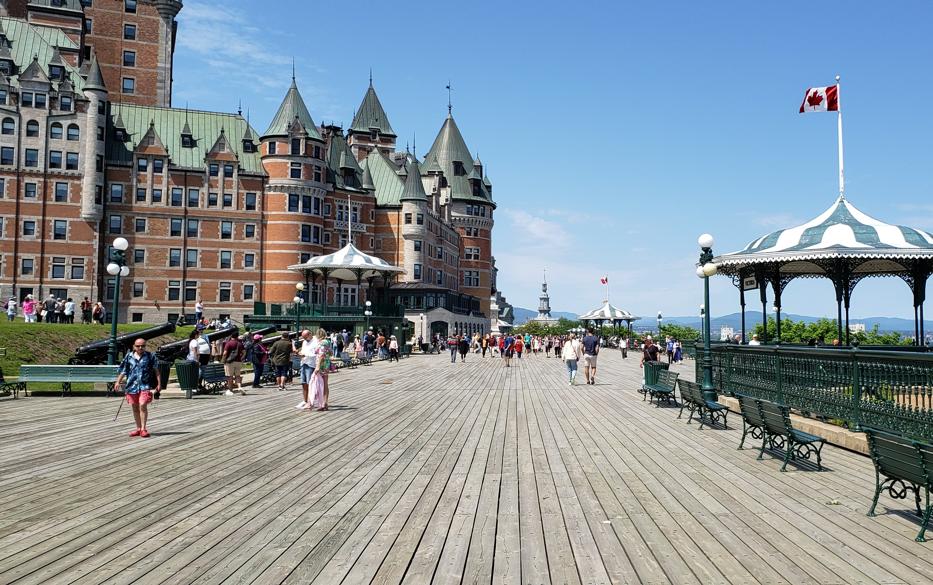
On the other end of the Dufferin Terrace is Fairmont Le Château Frontenac hotel opened in 1893


How hotel looks inside


View from one of the hotel windows

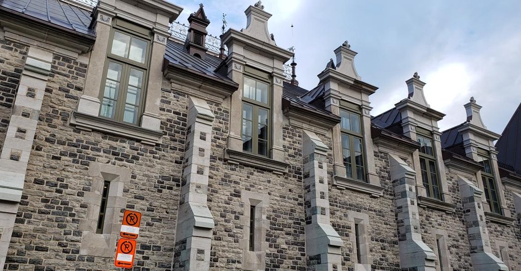
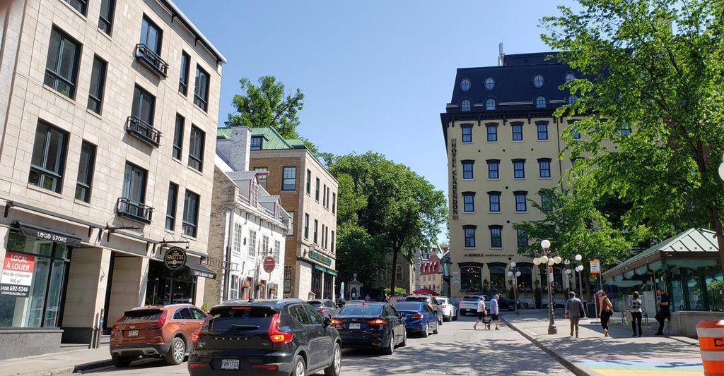
More modern streets and buildings of the upper town


Séminaire-de-Québec building and sundial


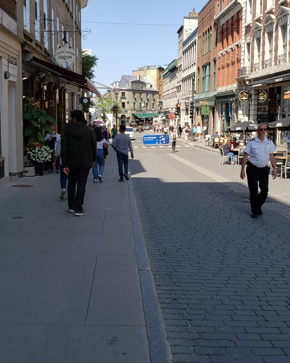
Going towards the charming lower town area: